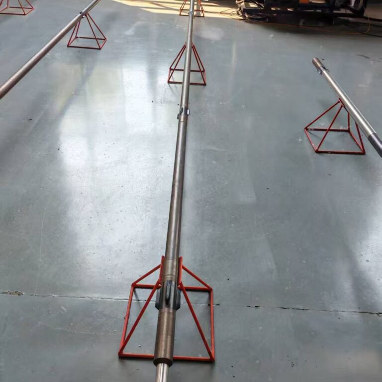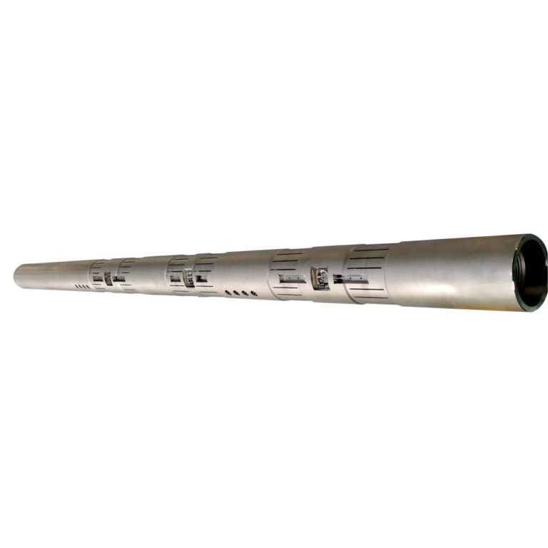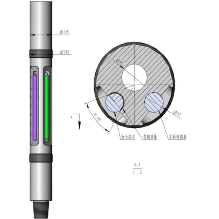



Multi-Physics Reservoir Mapping: Integrating Azimuthal Resistivity and Gamma Technologies
Navigating complex unconventional reservoirs requires far more than tracking natural formation radioactivity. True operational optimization demands a multi-physics approach that combines nuclear measurements with electromagnetic wave propagation. By integrating azimuthal gamma ray logging with multi-frequency azimuthal resistivity tools, Measurement While Drilling (MWD) strings achieve Multi-Physics Reservoir Mapping. This advanced integration bridges nuclear physics and electrical conductivity to deliver a comprehensive, real-time 3D petrophysical picture of the formation surrounding the wellbore.
1. The Synergy of Resistivity and Gamma Physics
While azimuthal gamma subs excel at mapping lithological boundaries based on natural radioactive mineral content, they cannot determine fluid saturation or porosity. Azimuthal resistivity tools fill this gap by emitting electromagnetic waves into the surrounding rock and measuring phase shift and attenuation.
- Complementary Data Streams: Gamma rays identify rock types (such as sand versus shale), while resistivity maps fluid properties (such as hydrocarbon-bearing intervals versus water-bearing zones).
- Deep Directional Sensing: Advanced propagation resistivity tools project electromagnetic waves several meters away from the wellbore, detecting approaching fluid contacts and formation resistivity anomalies long before the bit arrives.
- Directional Azimuthal Mapping: Sector-based resistivity sensors determine the direction of bedding planes and fluid boundaries, allowing drillers to steer away from water legs and stay locked inside sweet spots.
2. Key Operational Advantages
- Proactive Fluid Front Tracking: Identifies migrating oil-water contacts or gas-cap boundaries in real time, preventing premature water breakthrough in long horizontal laterals.
- Unambiguous Lithology Differentiation: Solves complex logging ambiguities where shaly sands and clean carbonates might exhibit similar gamma signatures but distinct electrical conductivity profiles.
- Maximized Reservoir Contact: Enables precise 3D geosteering based on both structural boundaries and fluid saturation indices, vastly improving ultimate well recovery rates.
3. Engineering for Extreme Downhole Environments
- Multi-Frequency Antenna Arrays: Precision-machined transmitter and receiver antenna coils embedded in non-magnetic drill collars withstand severe torsional stress while transmitting high-frequency electromagnetic fields.
- Rugged Thermal Flasking: High-temperature digital signal processing (DSP) electronics are housed within advanced thermal shields to maintain measurement accuracy in deep, high-enthalpy wells.
4. Conclusion
Geological navigation is evolving from single-sensor logging into comprehensive subsurface imaging. By synthesizing azimuthal resistivity and gamma data into a unified multi-physics reservoir mapping framework, operators gain unprecedented clarity, transforming the drill string into an intelligent probe that uncovers the true architecture of the reservoir.