


Quadrant Formation Analysis: Unlocking High-Resolution Lithology with Azimuthal Gamma Subs
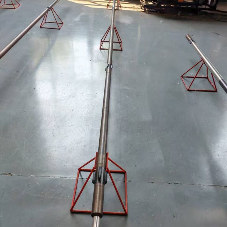
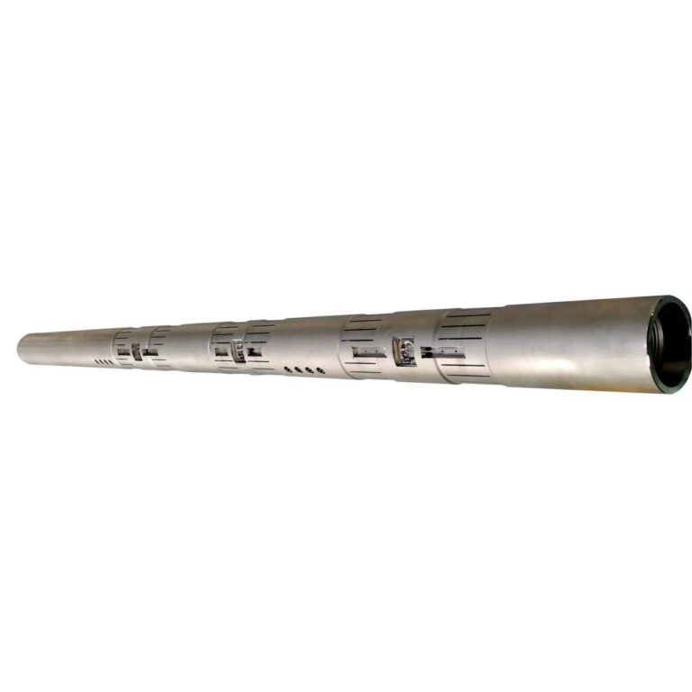
As horizontal drilling pushes deeper into complex, unconventional reservoirs, standard gross-interval logging is no longer sufficient for precise geosteering. Knowing where the bit is in 3D space is only half the battle; drillers must also know what geological layers surround the wellbore in real time. To bridge this gap, advanced Measurement While Drilling (MWD) strings deploy Azimuthal Gamma Subs. By dividing the borehole circumference into distinct measurement sectors, these specialized tools perform Quadrant Formation Analysis, transforming basic natural radioactivity logging into high-resolution, multi-directional geological imaging.
1. The Engineering Mechanics of Azimuthal Gamma Detection
Traditional gamma ray tools measure total natural formation radioactivity (uranium, thorium, and potassium) averaged over 360 degrees around the entire borehole, obscuring the precise direction of lithological boundaries.
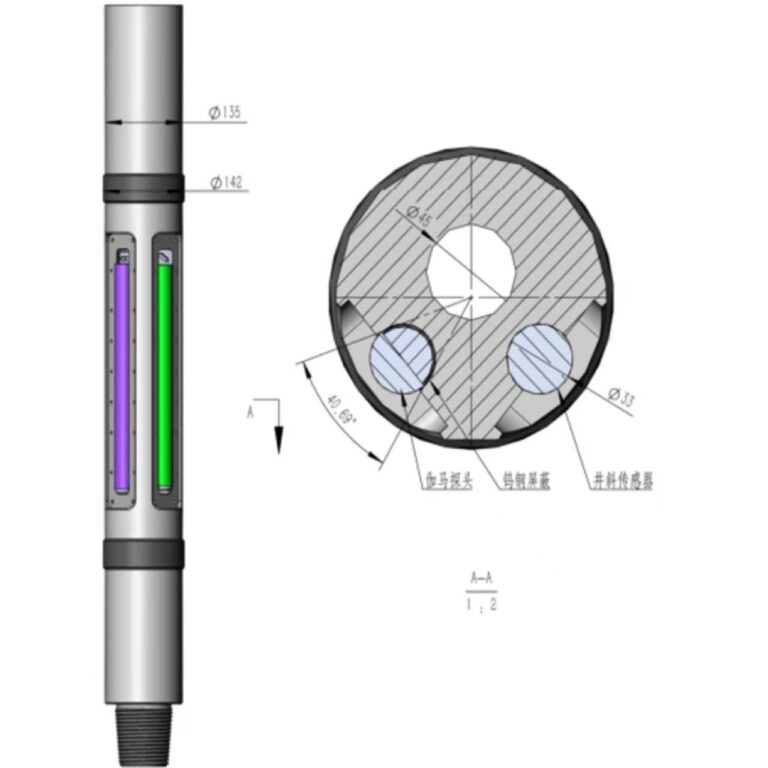
- Sector-Based Scintillation Detectors: Azimuthal gamma tools mount high-speed scintillation crystals (such as sodium iodide or bismuth germanate) paired with directional shielding or synchronized rotational electronics.
- Borehole Segmentation (Quadrants): As the drill string rotates or the internal electronics sample continuously, the tool divides the borehole wall into distinct radial quadrants (e.g., Up, Down, Left, Right) or higher-resolution angular bins.
- Real-Time Azimuthal Tagging: A high-speed magnetometer or accelerometer package tracks the tool’s rotational orientation, allowing the system to tag every gamma photon emitted from the formation with its exact geographical or relative bearing.
2. Key Operational Advantages and Geosteering Power
- Early Boundary Detection: Identifies approaching beds, faults, or formation dip changes before the drill bit actually penetrates them, enabling proactive steering adjustments.
- Steering in Thin Pay Zones: Keeps the wellbore strictly centered within narrow, high-permeability target layers by detecting when the bit is drifting toward unproductive caprock or water-bearing zones.
- Wellbore Image Generation: Computes high-resolution density and radioactivity maps of the borehole wall, providing petrophysicists with structural dip and fracture identification data without requiring a separate wireline logging run.
3. Engineering for Harsh Downhole Environments
- Robust Mechanical Shielding: Heavy tungsten or depleted uranium shields are precision-engineered into the collar to block background radiation from the mud stream while allowing gamma rays from the specific formation quadrant to reach the detector.
- High-Temperature Photomultiplier Stability: Electronics are housed in advanced thermal flasks capable of maintaining signal fidelity under prolonged bottom-hole temperatures exceeding 150°C ($300^\circ\text{F}$).
4. Conclusion
Geological navigation requires more than guesswork—it demands high-resolution vision. By harnessing quadrant formation analysis through azimuthal gamma subs, modern MWD architecture transforms the drill string into a powerful geological laboratory, ensuring optimal wellbore placement in the most challenging reservoirs.